Bradford sits on a varied geology of Millstone Grit, Coal Measures and glacial till. That combination creates steep valley sides and variable permeability layers. The British Standard BS 5930:2015 Code of practice for ground investigations provides the framework for any soil erosion analysis here. Without a proper erosion study, surface runoff during heavy rain can strip topsoil and undermine shallow foundations. Our field teams use erosion pins, sediment traps and infiltration tests to measure actual loss rates. This data feeds directly into slope stability models, so you know exactly where the ground is vulnerable. For sites near the River Aire or its tributaries, we also correlate erosion patterns with infiltration rates to predict scour depth.
Silt-rich glacial till in Bradford’s upper 3 metres is highly erodible once vegetation cover is stripped – RUSLE2 modelling confirms this.
Method and coverage
Regional considerations
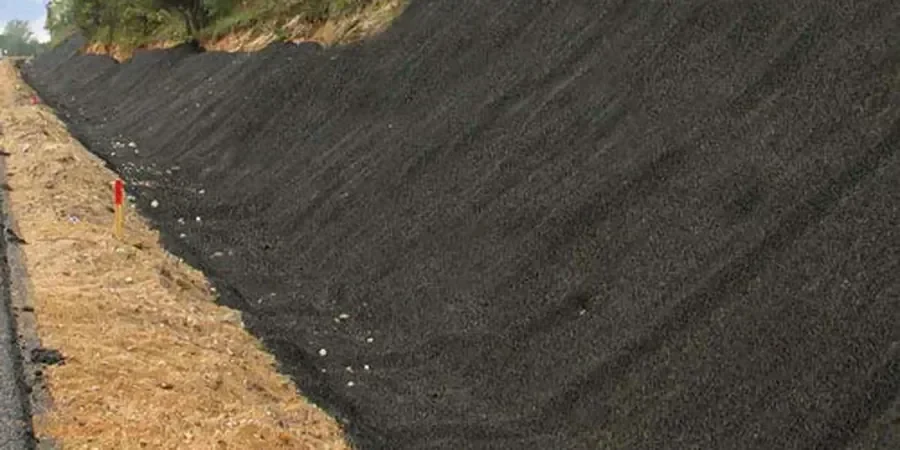
We deploy erosion pins along 50-metre transects on every site in Bradford. Each pin is a 300 mm steel rod driven flush with the ground surface. After each storm event, the team measures soil loss around the pin head. A loss of 10 mm in a single season signals active erosion that requires immediate intervention. On steep slopes near the A650 corridor, we combine pin data with drone photogrammetry to build 3D erosion maps. If the analysis shows rill or gully formation, we recommend regrading, hydroseeding or installing geotextile mats. That prevents sediment runoff entering Bradford’s drainage network and avoids fines under the Environmental Protection Act.
Standards that apply
BS 5930:2015 Code of practice for ground investigations, Eurocode 7 (EN 1997-1:2004), Environment Agency SC050021 Erosion Risk Assessment, BS EN 1997-2:2007 Ground investigation and testing
Complementary services
Erosion Risk Assessment (RUSLE2 + Field Validation)
We run the RUSLE2 model calibrated with local rainfall data from the Bradford weather station at Lister Park. Field teams install erosion pins and sediment traps on site. The final report includes erosion rate maps, runoff predictions and mitigation recommendations. Suitable for residential developments, road cuttings and riverbank works.
Sediment Control Design & Monitoring
We design sediment basins, silt fences and check dams tailored to Bradford’s soil types. Post-installation monitoring uses turbidity meters and sediment traps. Each visit records visual erosion status and pin measurements. Reports include photographic evidence and corrective actions if control measures fail.
This service complements our laboratory testing work for a complete project analysis.
Typical parameters
Top questions
How much does a soil erosion analysis cost in Bradford?
The typical range for a standard erosion risk assessment in Bradford is £570 – £1,710. This includes site visit, pin installation, RUSLE2 modelling and a full report. Complex sites with multiple slopes or existing drainage issues may fall at the upper end.
What triggers the need for an erosion study on a Bradford site?
Any site with slopes steeper than 10°, proximity to a watercourse like the River Aire or Bradford Beck, or planned earthworks exceeding 0.5 ha typically requires an erosion assessment. Local planning authorities often request one as a condition for discharge of surface water.
How long does the field monitoring last?
Minimum monitoring period is 12 weeks, covering at least three significant rainfall events. If the site is active during construction, we extend monitoring until permanent vegetation or hard surfacing is established. Each visit takes about half a day for a team of two.
Can erosion analysis be combined with a geotechnical investigation?
Yes. We often run erosion pins alongside trial pits, SPTs and infiltration tests in a single mobilisation. That saves time and reduces site disruption. The combined report gives you both bearing capacity and erosion risk under one cover.